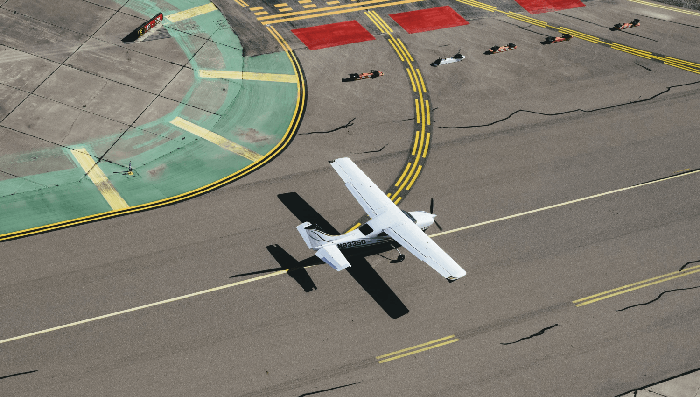
Drone imagery
Create models for autonomous flight and safe landing and train drones to recognize obstacles and objects of interest.
Providing the highest-quality training data for aerial and drone imagery models and redefining your ML pipeline.

Create models for autonomous flight and safe landing and train drones to recognize obstacles and objects of interest.
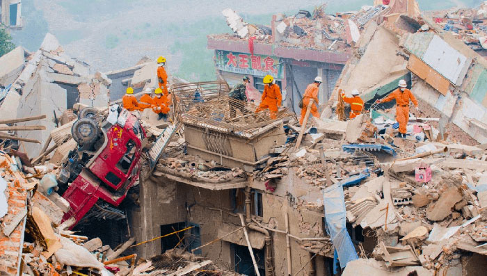
Analyze aerial images or pre and post disaster-hit locations with proper labeling for innovative disaster prevention.
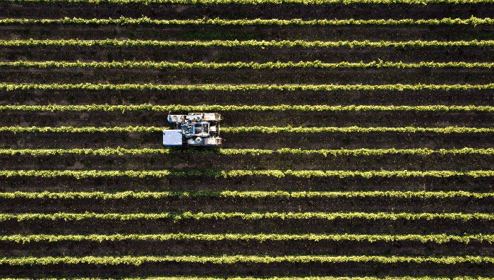
Collect labeled data of agricultural fields and analyze how much land is devoted to each crop, how healthy the plants are, and how fast the growth is.

Use satellite marine monitoring services for individual vessel identification, data on shipment dimensions, orientation, and location.

Detect man-made structures like houses, huts, and buildings for urban management and smart city layout planning.
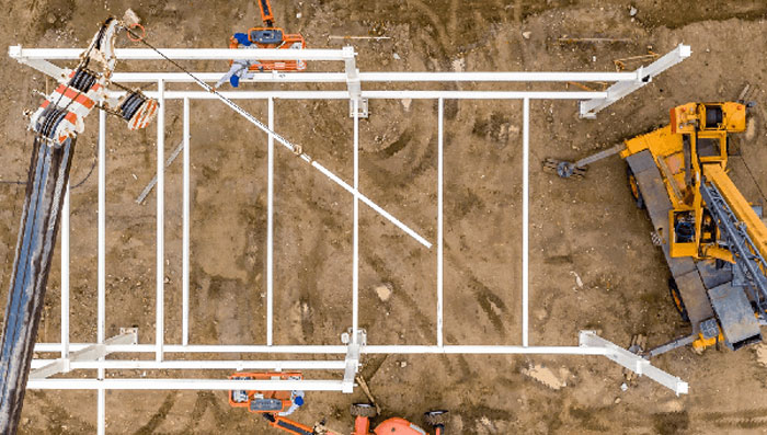
Train models to recognize field equipment, as well as assess and communicate on-site construction hazards swiftly and efficiently.
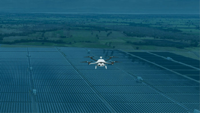
Percepto provides autonomous drone-in-a-box solutions for monitoring and securing critical infrastructure. As its business grew, the team needed a platform that could scale its annotation pipeline just as quickly. Read how SuperAnnotate helped streamline and scale the process.
Aerial imagery continuously reveals innovative opportunities for industries like construction, agriculture, and more. Training this kind of large, complex models requires a robust data annotation workflow with quality management measures and smooth iteration cycles.
SuperAnnotate is designed to build and feed quality data into AI models and get them into production up to 5x faster.